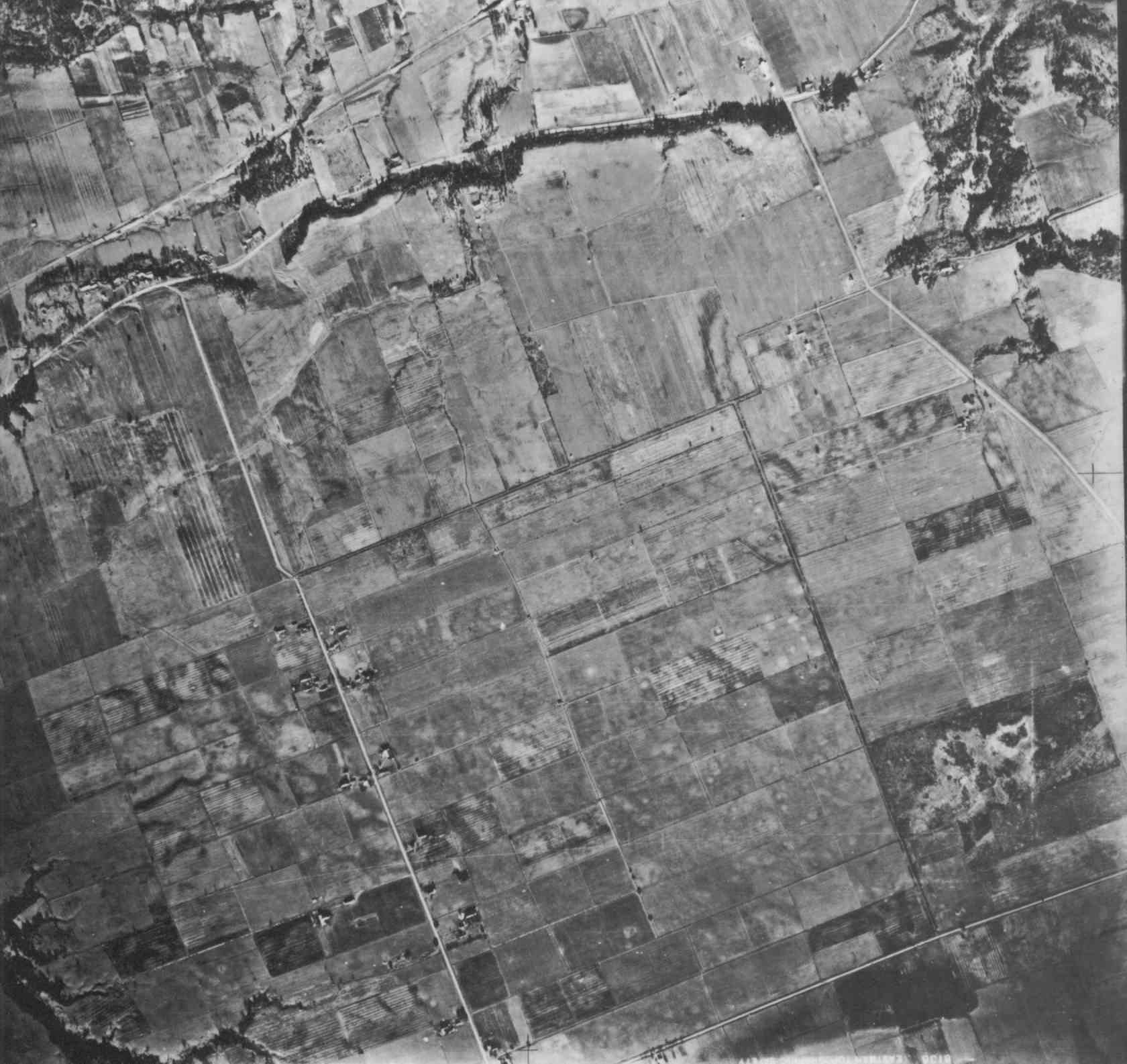
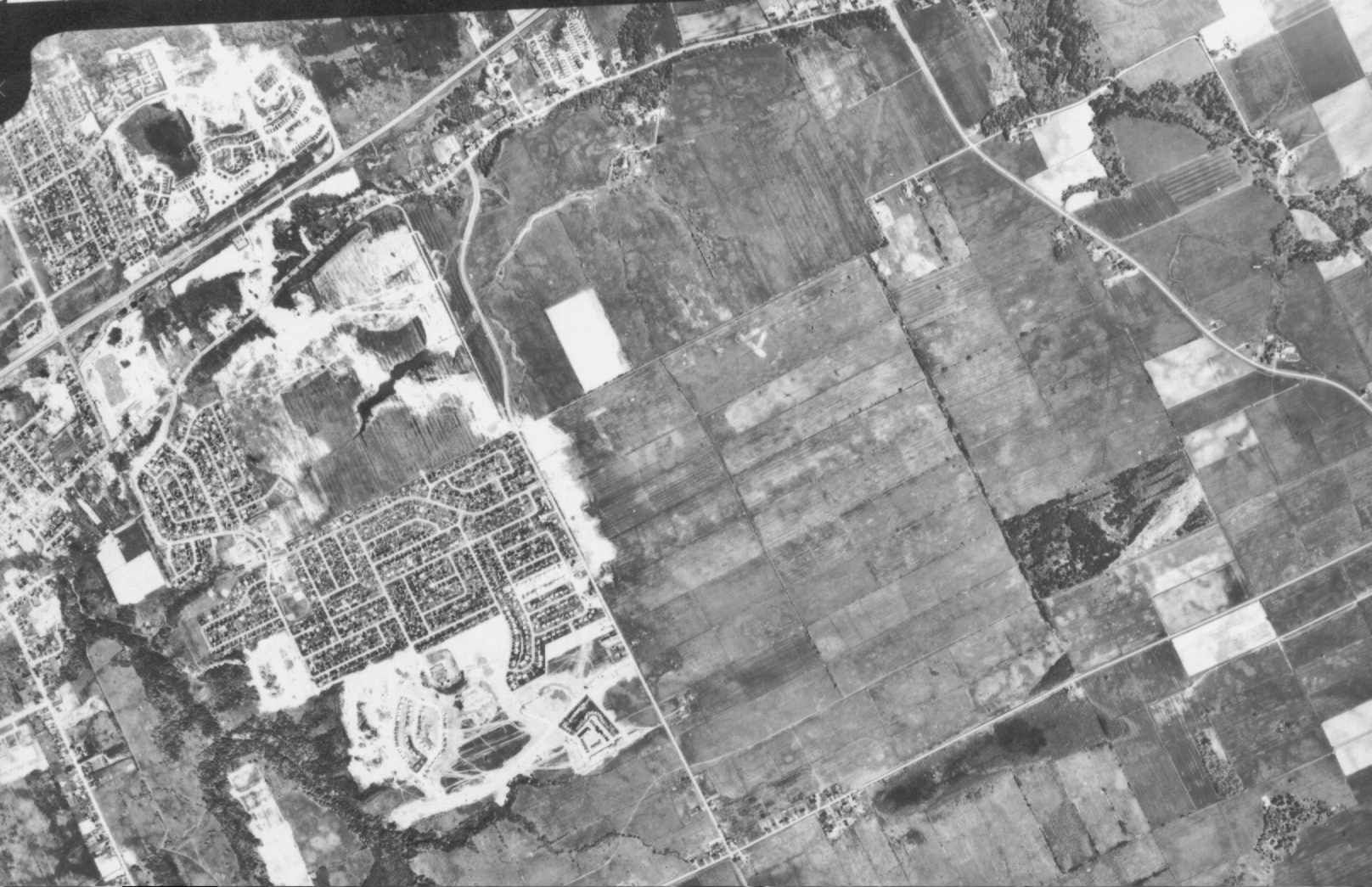
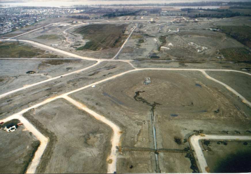
These are various aerial photos of the area surrounding Fallingbrook. The dates are given in the filename. Most were obtained from NRCan Aerial Photo Library, except for the low altitude one looking north over the Apollo Crater which was obtained from the (then) Cumberland Township, courtesy of Ned Lathrop (the then CAO). See also the site http://www.petrieisland.org for aerial photographs of Petrie Island from 1924 on.
The photos are intentionally larger than your screen, so that you can move around the photos with high resolution. All photos are oriented with north at the top. Usually Tenth Line Road is at the left and Trim Road is at the right. St Joseph Blvd and Hwy 17/174 (or the railway in 1945) are at the top.
Note how the location of Tenth Line Road between St Joseph Blvd and Charlemagne/Tompkins has changed. It was originally located under what we now call the New Tenth Line Road; the Old Tenth Line Road actually dates back only to 1983.
Click on a thumbnail to load the full image.